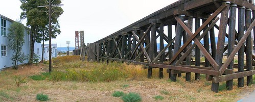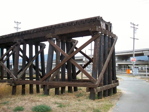
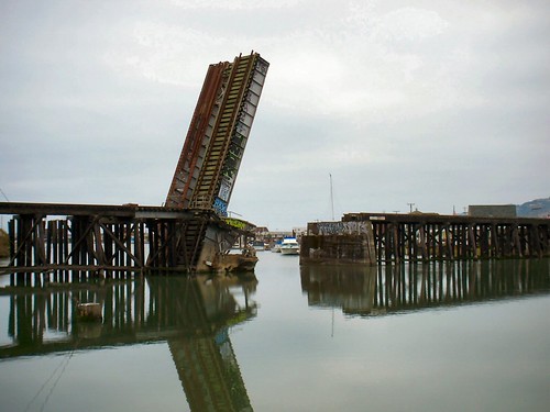
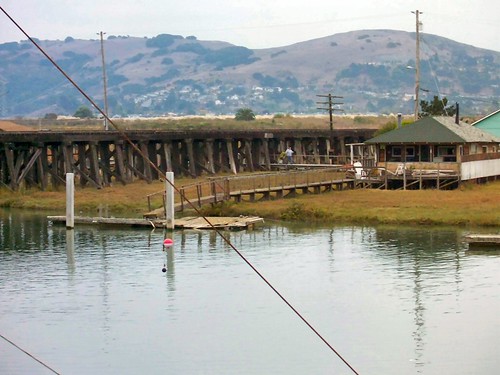
Corte Madera Creek trestle. Facing east, north is to the left.
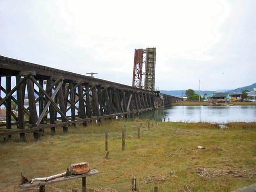
One of the clearest remaining artifacts of the Northwestern Pacific Railroad in southern Marin County is the Corte Madera Creek trestle and bascule span.
I’ve always been attracted to the railroad-to-water interface and this captures a lot of that charm and has a lot of small elements that could be incorporated into a layout.
Built in their current form in 1923, these were designeted by the railroad as two bridges: the North and South Corte Madera Creek approaches and both were specified by the railroad as structure number 14.61 with a combined length of 1,252 feet.
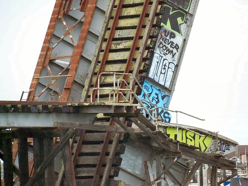
The bridge was originally two side-by-side bridges (the trestle is one track but the bascule may be seen to be two-track) for the orginal dual track main line but was single track for as long as I can recall, back through the 1970s.
I assumed the number 14.61 referred to miles from either Tiburon (SF&NP mileposts) or maybe Sausalito (NPC or NS mileposts) but this location is about 5.6 rail miles from Tiburon and 8.5 rail miles from Sausalito so I’m stumped. The mystery was solved when I found that Milepost 0.0 is the San Francisco Ferry Building, south across the bay so the 14.61 signifies “miles from San Francisco.”
Google Earth kmz file to the location
The bridges are largely intact other than the recent removal of the rails and 165 feet of the north end that crossed East Sir Francis Drake Blvd — thanks to damage caused by an idiot colliding with the bridge in a too-tall truck.
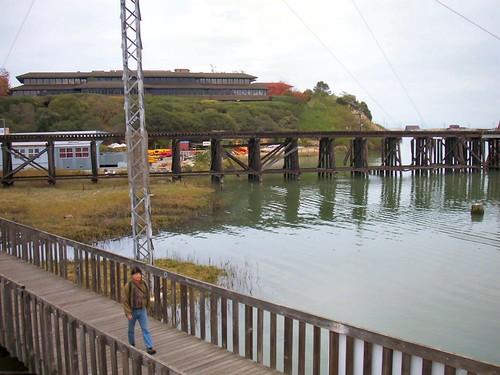
There is a foot/bike path nearby which is a nice spot to take pictures. The bridge is climbing a short sharp grade leading up into the tunnel number 3 on the way to San Rafael.
Almost the same view in 1949 with NWP 178 and leased SP 2336.

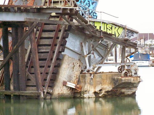
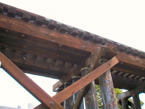
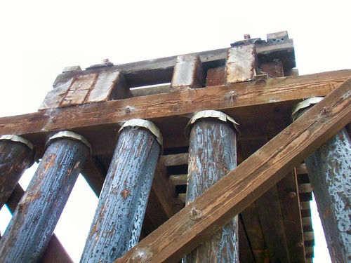
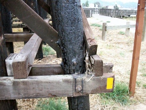
Note the galvanized steel caps on the piles. This is where the truck-damaged section of the bridge was cut away.
